Two Countries, One Heart: What the Dotted Line Means
Two maps, a red heart dropped into each one, and a dashed line running between them. The line is the whole design, and it was drawn to go both ways.
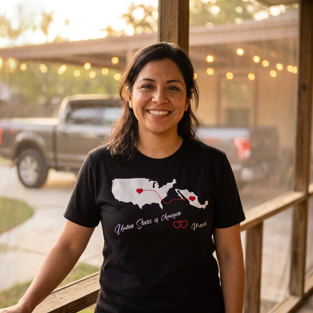
Every design in this family is built the same way. Two white map silhouettes sit across the upper chest, the continental United States on the left and a second country on the right. A filled red heart is dropped inside each one. A red dashed line curves between the two hearts. Underneath, in thin white handwriting, the first country name runs to the left, two red outlined hearts overlap in the middle, and the second country name closes the line. Nothing else on the shirt carries any color. The USA and Mexico, Two Hearts and a Dotted Line shows the layout at its plainest, and it is the one to read first.
The line is a route, not a border
Look at where the dashed line starts and where it ends. On the Mexico design it leaves the heart in the middle of the United States, dips down over the water, and climbs back into Mexico. It is a round trip, not a departure. That single decision is what the whole family rests on, and it is what separates these prints from the flags on every other rack. A flag announces a nationality. A line describes a relationship, and a relationship has two ends.
The United States and Philippines Two Hearts Map Tee stretches the idea furthest, because the line has an ocean under it. The archipelago is drawn island by island instead of as one solid mass, which is more work than it sounds: the Philippines counts more than seven thousand six hundred islands. The second heart sits up on Luzon, and the dashed line behaves like a flight path rather than a frontier.

Geography drawn honestly
The maps are not wallpaper, and the small choices inside them are the reason people stop and read. On the USA and Haiti, Two Hearts on One Red Line, Haiti is drawn on its own, cut along the Dominican border instead of handed over as half an island. Hispaniola carries two sovereign countries, Haiti to the west and the Dominican Republic to the east, and a lot of prints elsewhere simply draw the whole island and let the wearer explain it. This one does not. The northern claw and the long southern peninsula are both there, reaching back toward the mainland on either side of the bay.
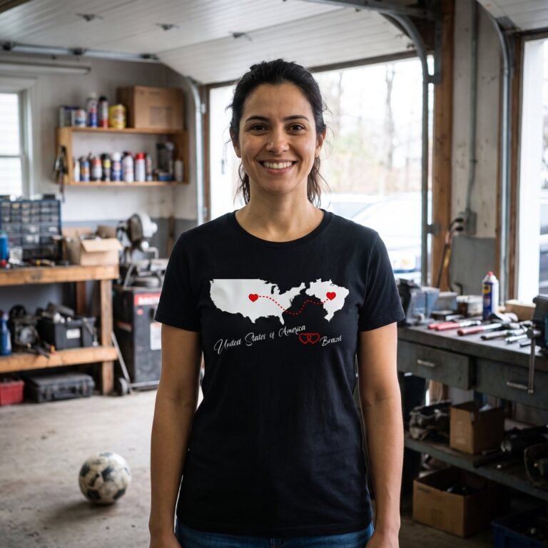
Proportion is the other thing these maps get right. On the USA and Brazil, Two Hearts Across the Atlantic, Brazil stands upright rather than lying flat, rising almost to the same height in the print as the whole mainland beside it, so it reads as a country in its own right instead of something added at the end of a line. The USA and Ireland, Two Hearts Across the Sea does the same favor to a much smaller island: the whole of Ireland, coastline rough and readable, standing nearly as tall in the print as the mainland next to it. No shamrock, no leprechaun, no beer joke, which for a lot of people is the entire appeal.
Spacing changes the tone as well. The USA and Colombia, Two Hearts and One Red Line opens the widest gap of any print in the group, with the Caribbean coast of Colombia turned toward the space between the two maps.
Which country goes where
The United States is on the left in every design in this family, the partner country on the right, and the handwriting underneath follows the same order. Worth knowing before you buy one as a present, because it is the first thing the person opening it will check.
Maps, or painted hands
If the two countries matter more to you than the distance between them, the shop says it a second way. In that family two hands are painted with a flag each, one country on the left hand and one on the right, and they meet at the fingertips and thumbs to leave a heart open between them. The heart is not printed at all: it is the black of the shirt showing through, and the only words are PERFECT HERITAGE set small underneath. Two flags at equal weight, no distance, no line.
So the choice is straightforward. Take the maps when the point is the crossing, the phone calls at the wrong hour, the cousins in two places. Take the hands when the point is that both countries are simply yours, in equal measure, at the same time. The map designs are gathered in Two Countries, One Heart, and the painted hands in American Heritage Hearts.
There is a third way to say it, which is to put the language on the shirt and leave the map out. How to Say I Love You in Ten Languages goes through those one by one, and Hispanic Heritage Month takes the same designs from the other direction.
Questions people ask
Which country goes on the left?
The United States, in every design in this family, with the partner country on the right and the handwritten line reading in the same order. A small number of designs in the shop leave the United States out altogether and pair two other countries instead. The layout does not change.
Do I have to be born there to wear one?
The design does not claim a passport. It names two countries, puts a heart in each, and draws a line between them. What the line stands for is left to the person wearing the shirt, which is why the same print reads correctly on someone who made the crossing and on a grandchild who has been once.
Why are some hearts solid and others hollow?
The hearts sitting on the maps are filled red, and the two in the middle of the handwriting are outlined. The contrast is deliberate. At arm’s length a row of solid red shapes collapses into a smudge, and the hollow pair keeps the written line readable from across a room.